
Before the Name Champa
Two thousand years before anyone called this land Champa, people were already burying their dead here.
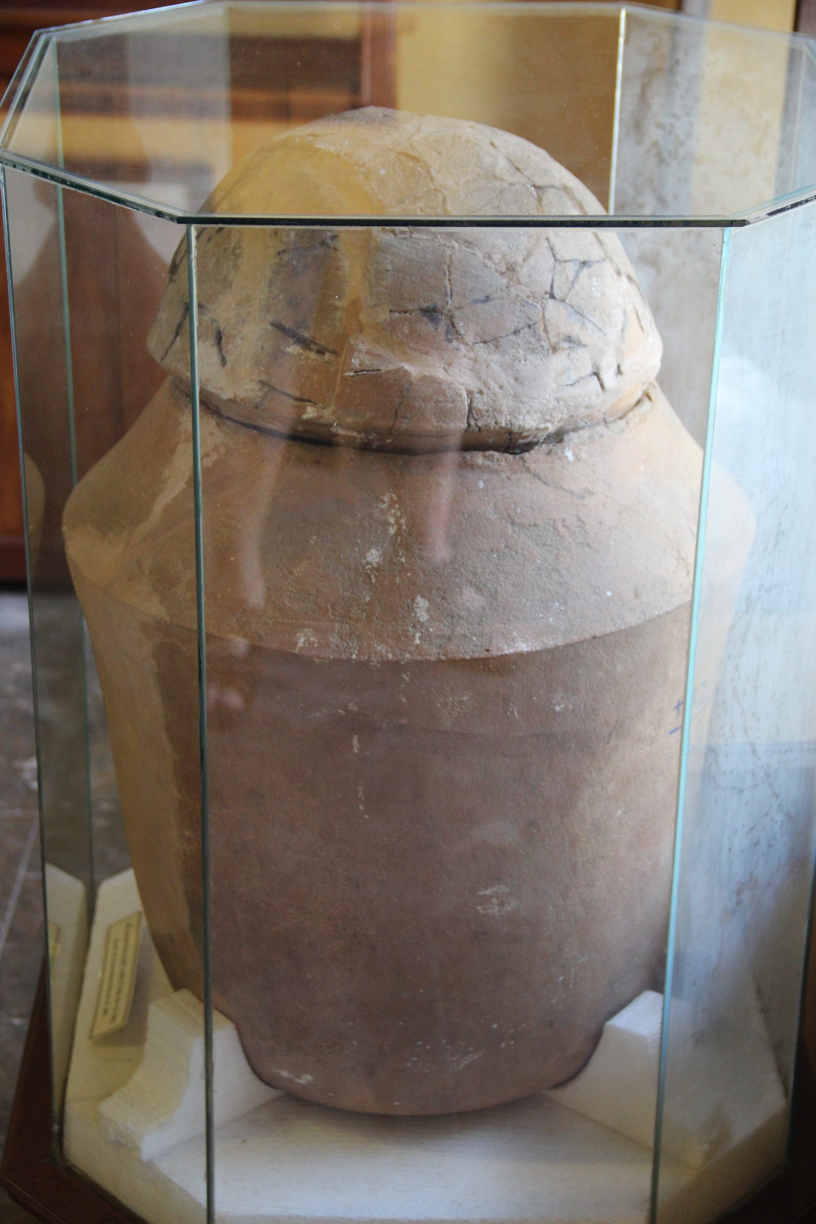
At Hậu Xá, inside the boundaries of today's Hội An, they packed ashes and grave goods into pottery jars and buried them in the ground. A team opened the Hậu Xá II jar cemetery in May 1994. The Sa Huỳnh jar burials around Hội An have been dated to about 2,000 years ago.
No one now knows the names of the people in those jars. A few hundred years later, a different name appeared over this land: Champa.
Lin-Yi Enters History
In 43 CE, the uprising Lady Trưng Trắc led in the commandery the Chinese called Giao ChỉA HAN COMMANDERY NAMEGiao Chỉ · 交趾“Giao Chỉ” was the name of the commandery the Han court imposed on the Vietnamese lands from the 2nd century BC. It later widened into the name China and Japan used for the country as a whole — and that pronunciation is the root of “Cochinchina”, the Western name for Đàng Trong, the realm that held the busy port of Hội An in the 16th–18th centuries. ended with her death. The Ri-Nan commandery, the land around today's Quảng Nam, remained under Han occupation.
Not until 192 did a Chinese record first name a kingdom called Lin-Yi, the Chinese name for Champa. The people to the north named it before a single line written by the Champa themselves survives to this day.
A House Burned at Gò Cấm
Downstream from Trà Kiệu, 3.5 kilometres by the river, lies Gò Cấm, a mound in Duy Trung commune, Duy Xuyên district.
Archaeologists opened a trial excavation there in 2000 and found the remains of a burned timber building, at least 13 metres long. Among the wreckage lay Han-style roofing tiles, some longer than 60 centimetres.
Radiocarbon dating placed the building's construction in the late 2nd century, the same period Chinese records first named Lin-Yi. The layer beneath still held Sa Huỳnh material, meaning people had built the house over ground others already lived on long before.
A fire, a collapsed roof, and researchers can still measure exactly how large it was.
The Servant Who Became King
The Liang Shu records that in 337 a king of Lin-Yi died, and a servant named Wen took the throne.
Ten years later, in 347, the Jin Shu records that Wen, now king, led his troops to attack the Ri-Nan commandery and wounded the commandery's chief.
Chinese histories call it usurpation. To the people of Lin-Yi, it may only have been another king taking the throne.
Land Given to Lord Bhadreśvara
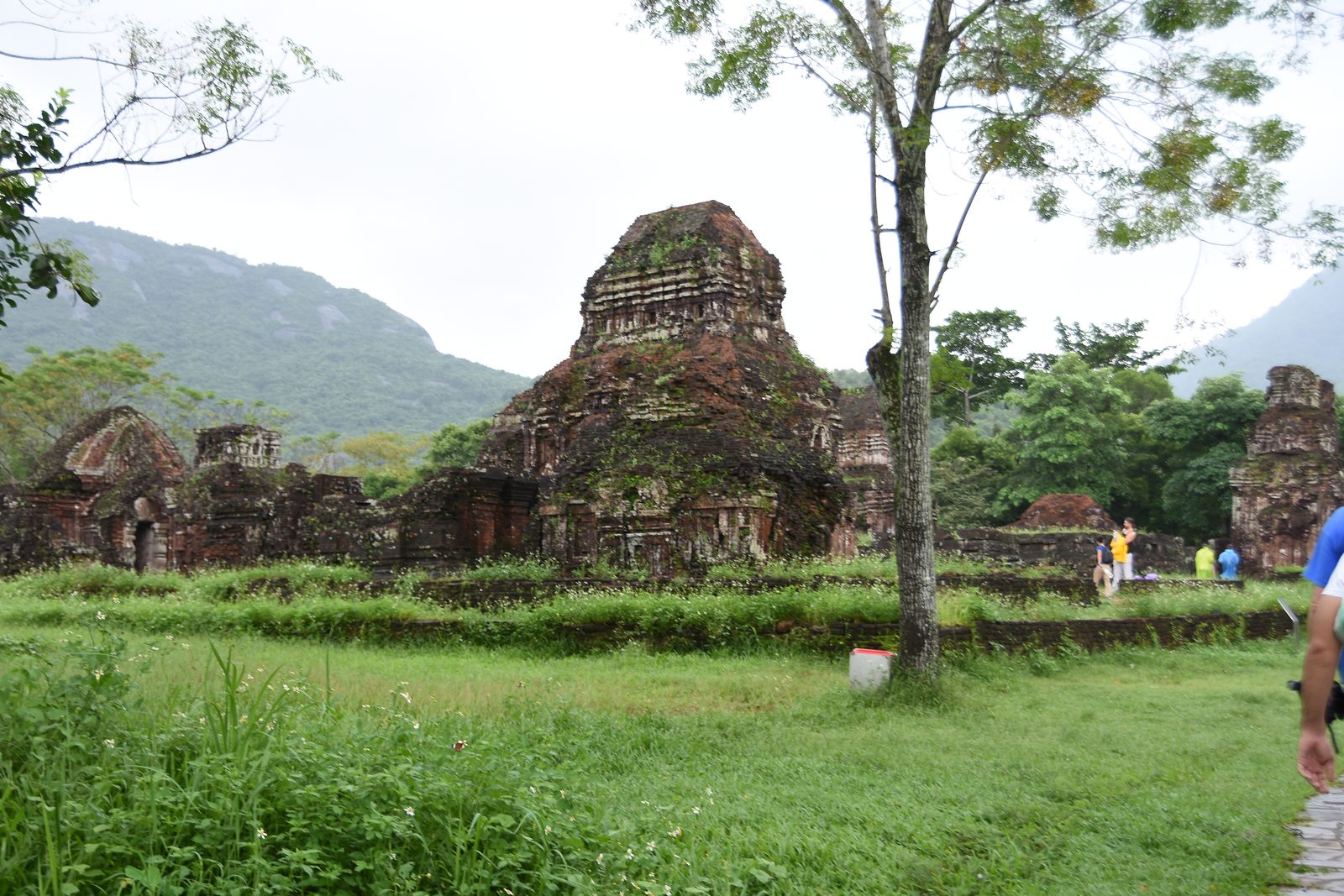
King Bhadravarman ruled Champa from about 380 to 413. Under his reign, the Champa people cut the oldest Sanskrit inscription of theirs that survives, at Mỹ Sơn, the site that later became a royal sanctuary and burial ground.
The stele, later catalogued as C.72, records that Bhadravarman, realising that human life does not last, gave the land to Lord Bhadreśvara as an akṣayī nīvī, a permanent endowment. Its boundaries ran to mount Sulaha in the east, a great mountain in the south, mount Kucoka in the west, and a great river in the north. The farmers on that land came with it.
The king asked any future king or claimant not to destroy what he had given, and warned that the merit or the sin of it would then belong to whoever broke the endowment. Lord Bhadreśvara, he wrote, would know.
The French scholar Louis Finot published a French translation of the stele in 1902. More than a thousand years later, Bhadravarman's words can still be read almost as he set them down.
Two Pedestals, One Citadel
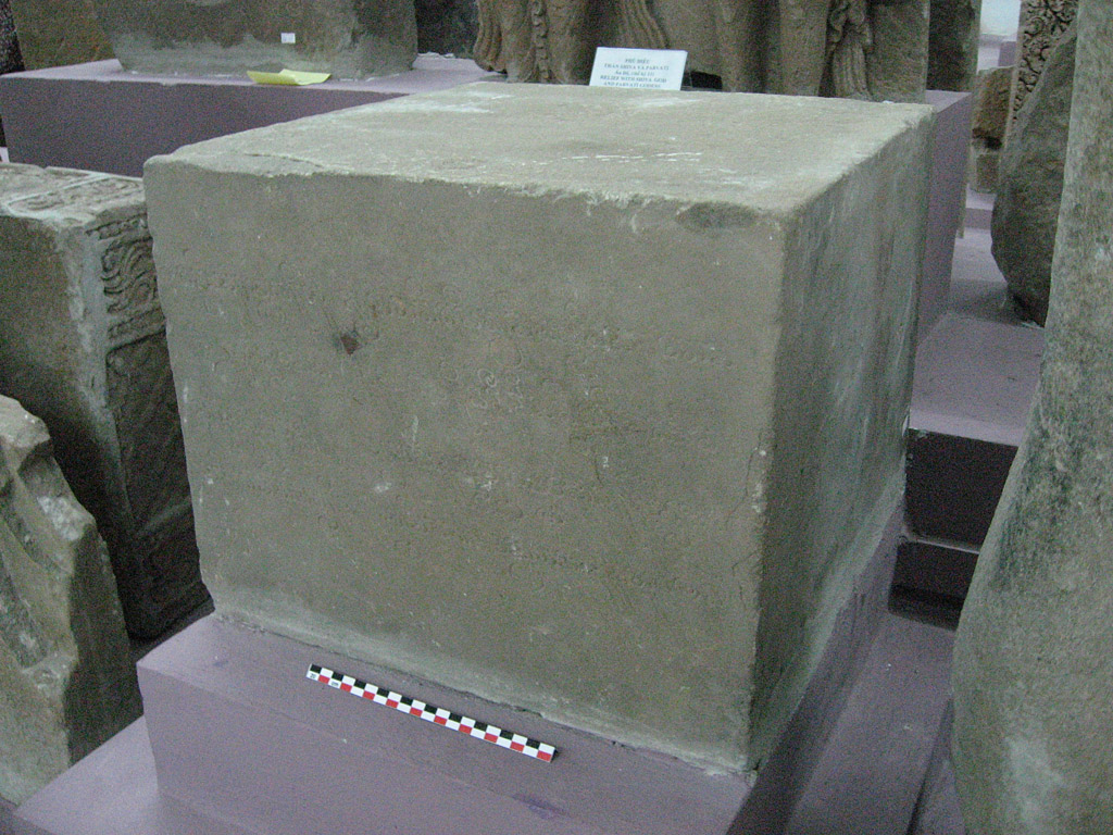
Before 1911, a man named Rougier found a stone pedestal at Trà Kiệu, 36 centimetres high. Scholars later catalogued it as C.137. The pedestal entered the EFEO Museum at Hà Nội that same year.
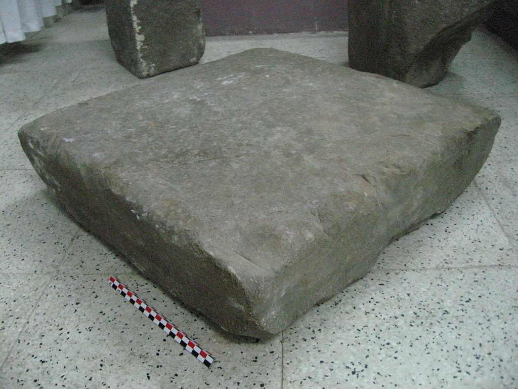
In 1927, the French architect Jean-Yves Claeys, who had just turned to archaeology, led the first excavation of the Champa site at Trà Kiệu. He found a second pedestal, lower and wider, 54 centimetres high, later catalogued as C.173.
Both pedestals date to around the 7th century. C.173 did not receive its current inventory number, LSb 42277, until March 2012, at the National Museum of Vietnamese History in Hà Nội.
Two pedestals, dug from the same citadel, stand today in the same place: the National Museum of Vietnamese History in Hà Nội.
Champa Roof Tile Under the Cẩm Thanh Ground
The researcher Trần Kỳ Phương describes each Champa river-port polity as built to one pattern: a trading centre at a sacred river mouth, a royal citadel to the west, and a royal sanctuary at the foot of a sacred mountain. For the Amaravati polity, today's Quảng Nam, those three pieces were Đại Chiêm Hải Khẩu, the citadel of Sinhapura at Trà Kiệu, and the sanctuary of Mỹ Sơn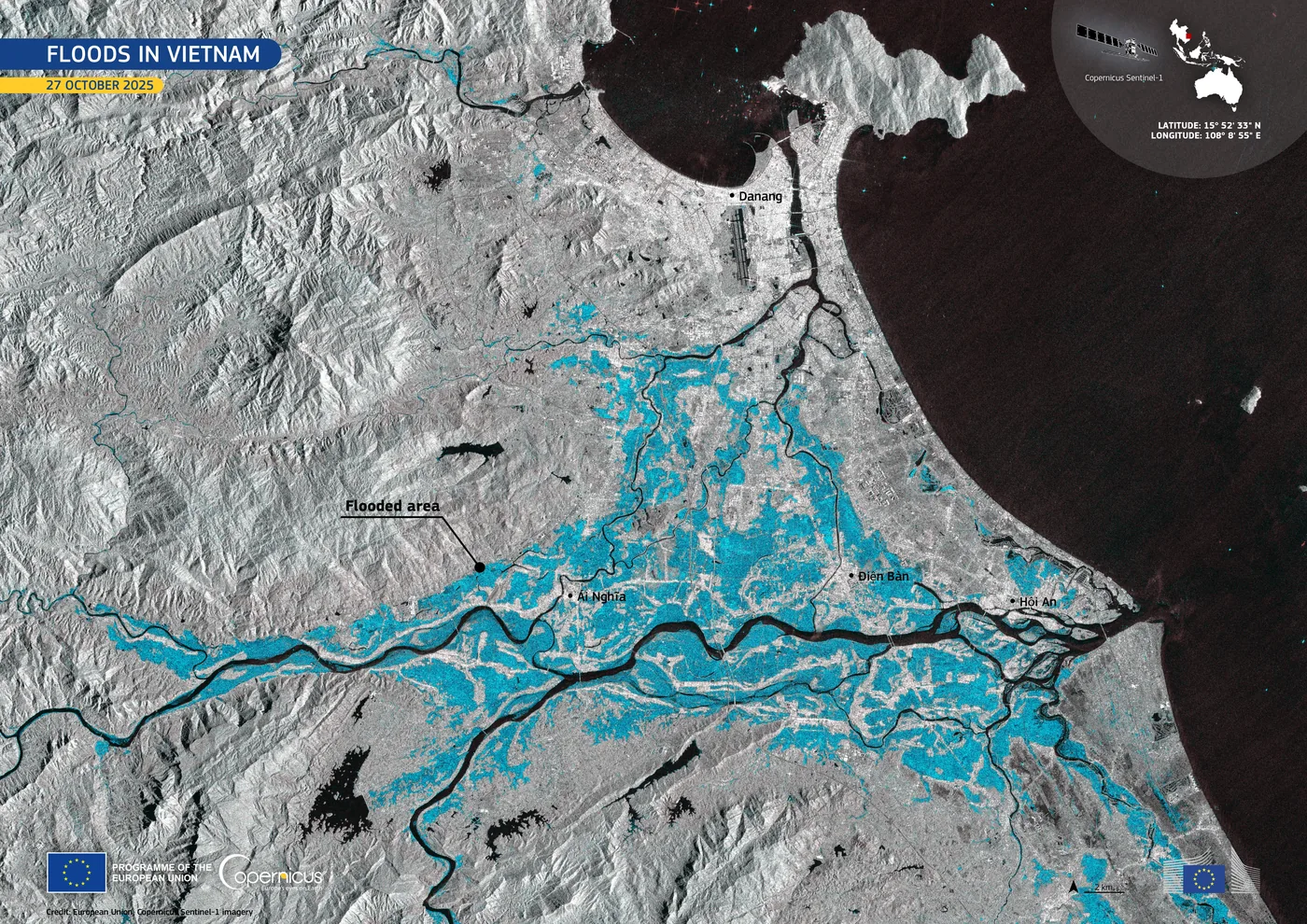 PLACE · RIVERThe Thu Bồn RiverSince the plain existed · to nowAbout 20 km³ of water reaches the sea down the Thu Bồn each year, more than any other river in central Vietnam, and 80 to 90 per cent of it arrives between September and December. The old town of Hội An stands on a sand ridge that the same river built. on the Thu Bồn. Three places, one pattern.
Most of that naming rests on written sources and on Trà Kiệu itself. The harder question is whether anything of the Champa remains inside today's Hội An.
It does. At Bàu Đà, in Võng Nhi hamlet, Cẩm Thanh commune, near today's Cửa Đại, researchers surveying the site in 1993 found Champa-style roof tile together with old Chinese porcelain.
Champa tile lies under the very ground on which the Vietnamese later built today's Hội An.
Envoys North, Words Cut Into Stone
After the Tang court fell at the start of the 10th century, Champa lost direct contact with the Chinese court for several years. When the Song dynasty rose, Champa restored relations. In 960, the first Champa tribute mission reached the Song capital, carrying local goods.
At the same time, Champa also looked south. The Nhan Biều stele, cut in 911 or 912, records that King Jayasimhavarman sent a nephew of the queen, a man named Pov Klun Rajadvarah, to Java to open diplomatic relations.
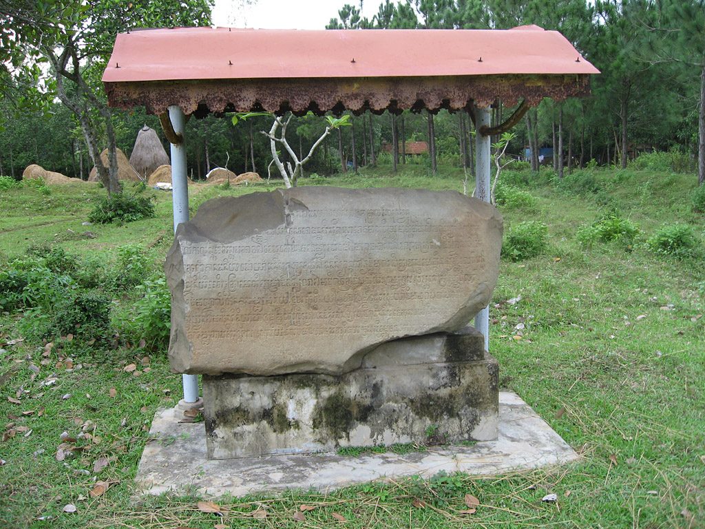
The Chiên Đàn boulder, 80 centimetres high and first mentioned in the literature before 1892, carries an inscription from the early 11th century. It records the words of a Champa king himself. He offered Khmer and Vietnamese captives to the gods of the citadel of Tralauṅ Svon and to several other shrines in Amaravati.
This is not an outsider's account of a war between Champa and its neighbours. The Champa's own stone recorded it, in the voice of the victor.
Did Amaravati Lose Its Role, or Not?
In the early 20th century, the French scholar Georges Maspero proposed a reading of Champa's history. At the end of the 10th century, with the fall of the Đồng Dương dynasty, he wrote, Champa moved its capital from the Quảng Nam region to Bình Định and built a new one at Vijaya. Under this reading, the port of Hội An declined from that point, ceding its role to the port of Thị Nại at Quy Nhơn.
This reading stood for nearly a century. But the researcher Michael Vickery, working from the inscriptions that had been found, showed that evidence for Vijaya's rise appears only from the late 12th and early 13th centuries, far later than Maspero had claimed. He proposed dropping the idea of a capital move: Champa was not a single country with one capital but several polities existing side by side.
Archaeology sided with Vickery. Song and Yuan porcelain still turns up thickly around Hội An and the Thu Bồn. According to the researcher Kikuchi, not until the 15th–16th century do earlier-period sites stop appearing in the region. At the same period, the capital of Vijaya also declined.
The port did not lose its role in any single named year. It faded, over several centuries.
The Joint Prefect of Đại Chiêm
In 1471, King Lê Thánh Tông took Vijaya, Champa's capital in what is now Bình Định. Historians usually mark that date as the end of a unified Champa kingdom.
But in Quảng Nam, power did not change hands in a single day. The king placed a Champa-descended chief alongside a Vietnamese official to jointly govern the region, a post called Đại Chiêm Đồng Tri Châu. The authority of local Champa chiefs lasted into the late 15th century, not vanishing the moment 1471 ended.
By the mid-16th century, when Nguyễn Hoàng began building his rule over the Thu Bồn basin, he inherited some of the region's administration and its economic network from what the Champa had already built. The port was not born under the Nguyễn lords. They inherited it.
From Trà Kiệu to the Museum
Most of what remains of the Champa layer sits not in Hội An but at Trà Kiệu, at Mỹ Sơn, and in museums.
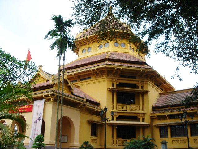
The National Museum of Vietnamese History in Hà Nội now holds Bhadravarman's foundation stele, catalogued as C.72, inventory number LSb 21165, together with the two Trà Kiệu pedestals, C.137 and C.173.
.jpg)
.jpg)

Gò Cấm remains. The foundations under Bàu Đà remain. The brick under today's Hội An remains. None of it went anywhere, only buried under the later layers of the town built on top of it.
- C. 137 Pedestal from Trà Kiệu — Arlo Griffiths, Corpus of the Inscriptions of Campā, CC BY 3.0
- Sa Huynh Pottery Burial Jar — Gary Todd, CC0
- My Son ruins — shankar s., CC BY 2.0
- C. 173 Pedestal from Trà Kiệu — Arlo Griffiths, Corpus of the Inscriptions of Campā, CC BY 3.0
- C. 64 Broken boulder of Chiên Đàn — Arlo Griffiths, Corpus of the Inscriptions of Campā, CC BY 3.0
- National Museum of Vietnamese History, Hanoi — Shoestring (WT-shared), Public domain