
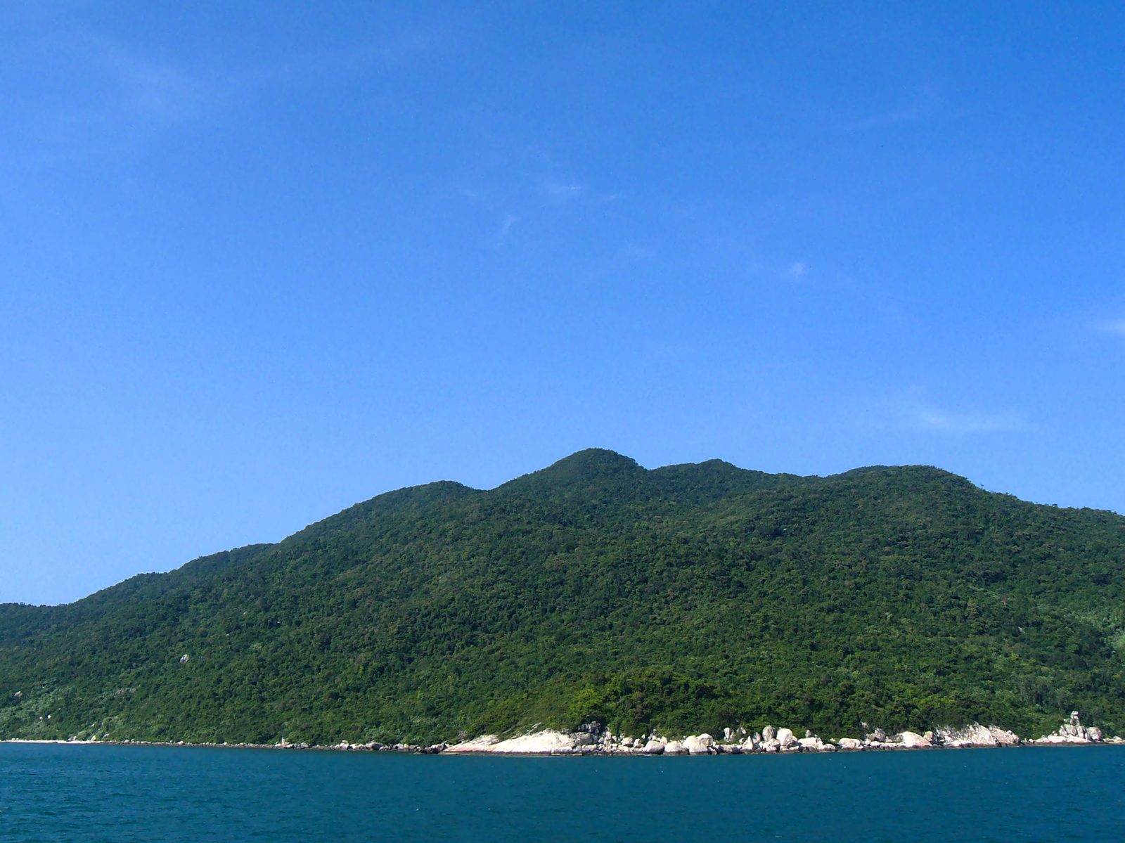

The screen outside Cửa Đại
Eight islands run in an arc off the mouth of the Thu Bồn river, the largest called Hòn Lao, its ridge rising to 517 metres. Cù Lao Chàm sits some 15 kilometres from Cửa Đại and 19 kilometres east-northeast of the old town of Hội An, standing directly across the channel ships took to reach the river mouth.
In 1696 the Chinese monk Thích Đại Sán passed the island on his way home and set down what he saw in his travel account, Hải ngoại kỷ sự: the islands curved like the rim of a chair, with flat ground in the middleTHE ORIGINAL WORDSMấy hòn đảo bao quanh như vành ghế, ở giữa một vùng đất bằng phẳngThích Đại Sán, Hải ngoại kỷ sự (1696), bản dịch 1963. A later Nguyễn-dynasty gazetteer, Đại Nam nhất thống chí, placed it "68 dặm east of Diên Phước district, rising alone from the sea," and named it Đảo Ngọa Long. Ships bound to and from the strait of Đại Chiêm took their bearings from it.
The name Cù Lao Chàm settled late. Earlier texts called the island by half a dozen names — Chiêm Bất Lao, Tiêm Bích La, Đại Chiêm dữ, Ngọa Long dữ. European cartographers gave it names of their own: Ramusio's 1548 map of Southeast Asia marked it "Capo pulocanpola," and Alexandre de Rhode's 1650 map wrote "Polociampeilo." Not until 1838, on Taberd's An Nam đại quốc họa đồ, did a map render the name as it is written today.
A name that took three centuries longer to settle than the island it named.
People on the island before Hội An
People lived on the island before they lived in the old town on the mainland. In May 1999 archaeologists opened a test trench at Bãi Ông, at the foot of Hòn Lao's ridge, and in June 2000 they excavated it further. Carbon dating put the layer at 3,100 ± 60 years before present, older than any settlement trace yet found in Hội An itself.
Under the sand the team recovered more than 13,000 sherds of coarse pre-Sa Huỳnh pottery, along with over 185 stone tools: shouldered axes, grinding stones, hammerstones, pottery-burnishing tools. Jar burials lay in the same layer, cobbles packed around their base, shell-edge patterns still visible on the rims.
The island had its people first, the mainland after.
A stop on the sea's silk road
Centuries after the pre-Sa Huỳnh layer, Cù Lao Chàm became a stopping point on the sea route linking the Middle East to China. In May 1998 archaeologists tested the site at Bãi Làng, and the following year they opened a trench eight square metres wide, its cultural layer 1.4 metres deep.
That layer held Islamic glazed ware from Middle Eastern kilns, green-glazed ceramics from the Yue and Trường Sa kilns of southern China, coloured glass fragments, and finely worked beads. The finds cluster in one span, the eighth to the tenth century, the same stretch in which Champa's sea trade peaked, once ships from the Middle East could sail direct to Champa's waters without first calling at Funan.
Cù Lao Chàm was not a minor stop then. It was where the trading happened, before there was a Hội An to trade in.
The island passes to Đại Việt
From the tenth century Đại Việt grew stronger after winning its independence, while Champa weakened and its capital retreated south. By the fifteenth century a new route between Fujian and Luzon drew Chinese traders away, and fewer ships called at Cù Lao Chàm. In 1471 the province of Quảng Nam was established and the island passed to Đại Việt, continuing its old role as a guard post for Cửa Đại, by then the gateway to the Nguyễn lords' port of Hội An.
Vietnamese settlers moved onto Hòn Lao in numbers from the seventeenth century, founding the village of Tân Hiệp. In August 1978 Tân Hiệp was separated into its own island commune, split across three hamlets — Bãi Ông, Bãi Làng, Bãi Hương. A couplet still sung on the island runs that to taste the swallow's nest, one must crawl into Hang KhôTHE ISLAND'S OWN VERSEMuốn ăn được yến phải lòn hang Khôca dao Cù Lao Chàm, dẫn qua Trung tâm Di sản, a trace of the harvest that the Lê-dynasty travel record Hải trình chí assigned to the Hoàng Sa flotilla.
The island drew outside attention too. In 1523 the Portuguese priest Duarte Coelho landed and carved a cross into the rock as a marker. In 1742 a director of the French East India Company named Dumont wrote a report urging the seizure of the island and the founding of a trading post there, to control Hội An's foreign trade. In 1793 three British warships of the Macartney mission anchored in the bay of Đà Nẵng and spent time observing and reporting on Cù Lao Chàm.
None of them took the island. But its name, by then, had reached the desks of governments a very long way from the sea around it.
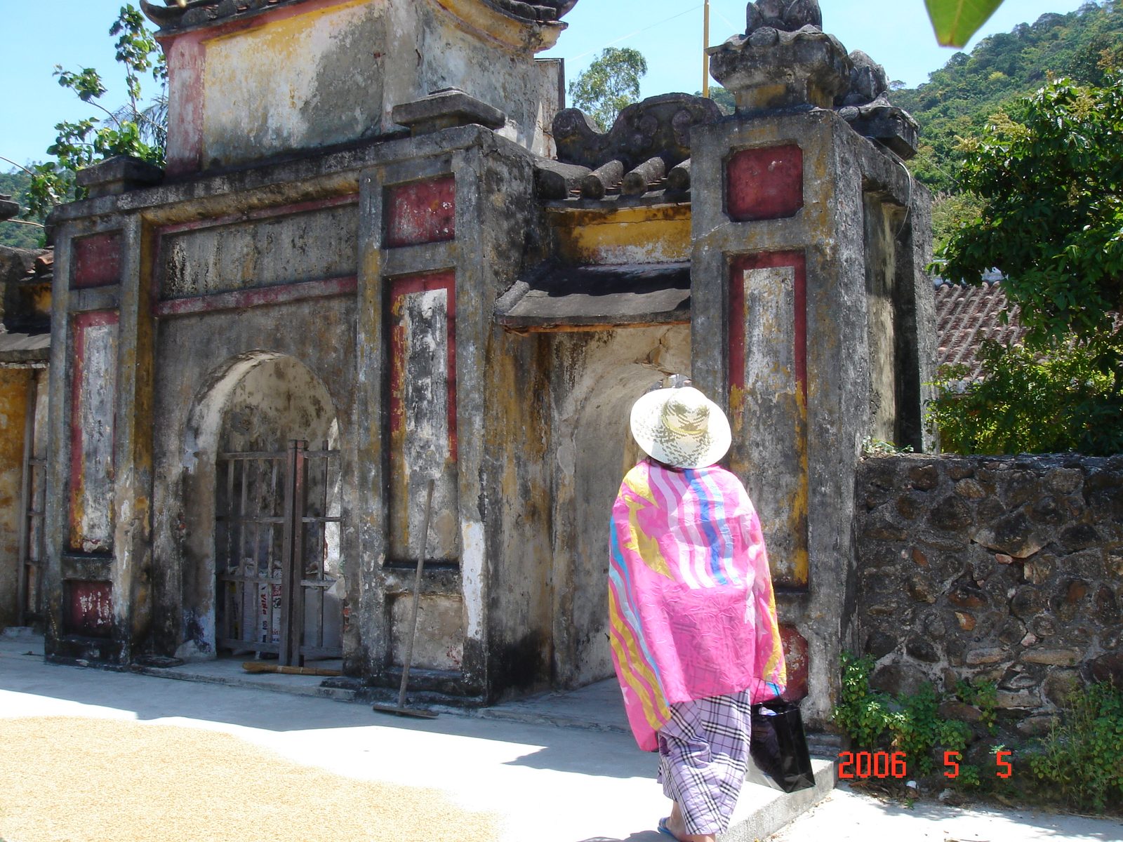 Photograph 2006 · Wikimedia Commons user Blon · CC BY-SA 3.0
Fishermen hauled up a fortune
In the early 1990s fishermen working the waters off Hội An pulled up something unusual in their nets: old ceramic sherds, some pieces whole, from a spot roughly 20 kilometres east of Cù Lao Chàm. They carried them ashore and sold them to souvenir stalls in the old town.
The beauty and evident age of the pieces set off a rush. From 1993 antique dealers converged on Hội An in search of "sea goods." Fishermen dragged purpose-built nets thousands of metres long across the seabed, 70 metres down, smashing tens of thousands of pieces and scattering thousands more into the hands of dealers who carried them out of the country.
The rush only slowed once customs officers at Đà Nẵng airport arrested two Japanese dealers carrying undeclared antique ceramics, and the Ministry of Culture and Information ordered the site protected.
A chance haul of nets had dragged a five-hundred-year-old ship back into the hands of the living.
Six dives to seventy metres
Vietnam had no underwater archaeology programme at the time, and the wreck lay 70 metres down, deeper than any archaeological excavation attempted anywhere in the world. On 14 February 1997 the government issued an order permitting the Vietnam National History Museum to work with two salvage firms, VISAL and the Malaysian company Saga, under the archaeological supervision of the University of Oxford.
Six expeditions followed across three years: three surveys, one pre-excavation, two full excavations. The pre-excavation of August 1997 managed only 12 working days between storms and raised 41 ceramic samples. The 1998 season ran from 16 May to early July, 42 specialists living aboard a barge, and brought up 922 glazed pieces. The 1999 season, from 23 April to early July, used saturation diving, a costly technique, and recovered more than 240,000 objects.
Three storm seasons and three years of paperwork, to raise one ship that had lain on the seabed for half a millennium.
The ship and its 240,000 objects
The hull measured 29.4 metres long and 7.2 metres at its widest, divided into 19 compartments by timbers fitted so tightly that water could not pass between them. The Vietnam Forestry Institute identified the wood as teak, a timber that before the eighteenth century grew only in India, Thailand, Myanmar and Laos.
The cargo was mostly blue-and-white, celadon and white-glazed ware from the Chu Đậu kilns of Hải Dương, in every shape imaginable, the largest dish 46.2 centimetres across, the smallest piece only 2.7 centimetres tall. Among the cargo were 41 old coins, 24 of them identified as Chinese, the earliest from the Tang dynasty and the latest a Vĩnh Lạc coin from the early fifteenth century.
The hold also held the remains of 11 people: six adults, one adolescent, two children. One skull, from a woman aged about 18 or 19, showed features close to those of modern Thai people. That clue pointed archaeologists toward a theory: shipwrights built the vessel in the Chantaburi region of Thailand, it was loaded with Vietnamese ceramics for sale abroad, and it sank off Cù Lao Chàm in a storm while returning overladen from the port of Vân Đồn.
The shipbuilders were Thai. The cargo was Vietnamese. The voyage belonged to no single country.
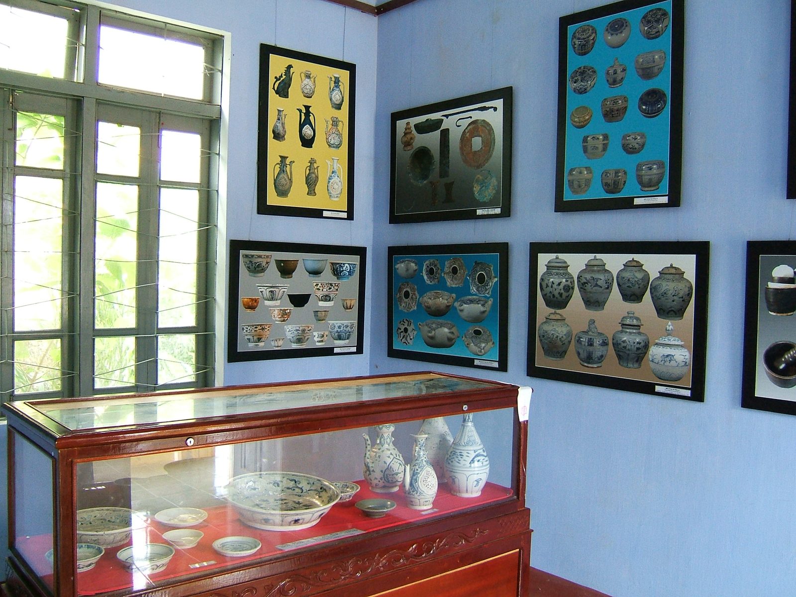 Photograph 2005 · Vietnamese Wikipedia user Viethavvh · CC BY-SA 3.0
An auction that fell short
More than 240,000 objects survived whole or nearly whole, not counting tens of thousands of broken sherds. Vietnamese museums kept every unique piece and a tenth of the duplicates, and the rest went to the international market.
On 10 October 2000 the Butterfields auction house in San Francisco opened a sale titled Treasures from the Hoi An Hoard. Three dragon-shaped ewers, each estimated at $30,000 to $50,000, sold for $79,500, $63,000 and $57,500, two of them going to the British Museum and to the Art Gallery of New South Wales in Australia.
By the end of the third and final day, only four in ten lots had sold. Ong Soo Hin, the businessman who had financed the salvage, had invested close to $14 million and recovered $2.96 million.
Raising the ship had cost far more than selling it ever returned.
The island today
On 26 May 2009 UNESCO recognised Cù Lao Chàm, together with the mouth of the Thu Bồn river, as a world biosphere reserve, its core zone covering 5,000 hectares of coral reef and seagrass. More than 22 communal houses, tombs, shrines, pagodas and old wells, built between the early eighteenth and early twentieth centuries, still stand on the island.
The island commune of Tân Hiệp now counts more than 2,000 residents across four hamlets: Bãi Ông, Xóm Cấm, Bãi Làng, Bãi Hương. Swallow-nest harvesting on the cliffs, the same task the Hoàng Sa flotilla once carried out for the Lê court, still has its practitioners. Tourist boats now carry more visitors out to the reefs than boats once carried firewood and drinking water home, in the days Thích Đại Sán passed through.
The five-hundred-year-old ship still lies on the seabed. Most visitors who come to the island today know only the reef above it.
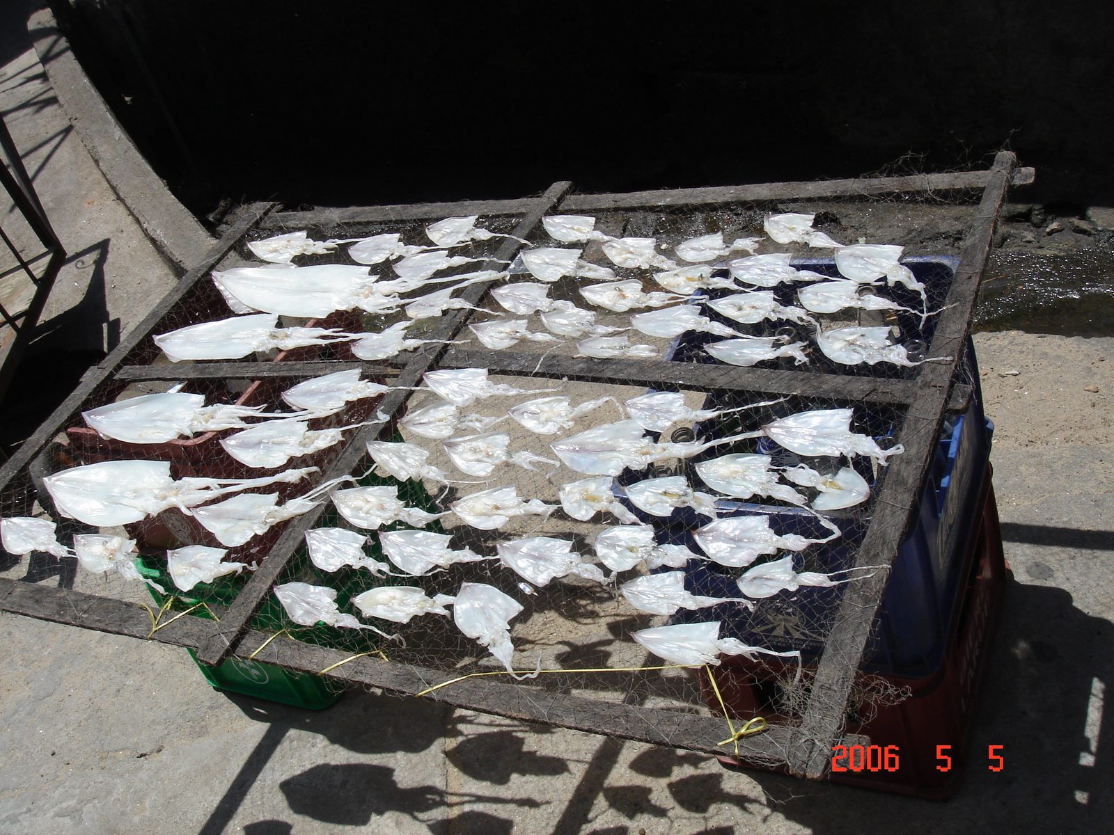 Photograph 2006 · Wikimedia Commons user Blon · CC BY-SA 3.0
- "Khai quật khảo cổ học dưới tàu đắm Cù Lao Chàm — Hội An — Quảng Nam (1997–2000)" — Trung tâm Quản lý Bảo tồn Di sản Văn hóa Hội An
- Võ Hồng Việt, "Cù Lao Chàm - Tên đất, tên làng" — Trung tâm Quản lý Bảo tồn Di sản Văn hóa Hội An
- "Di tích khảo cổ học Bãi Ông" — Trung tâm Quản lý Bảo tồn Di sản Văn hóa Hội An
- Nguyễn Chí Trung, "Tổng quan về khảo cổ, lịch sử - văn hóa Cù Lao Chàm" — Tạp chí điện tử Thế giới Di sản
- Suzie Thomas, "Hoi An Shipwreck" — Trafficking Culture (University of Glasgow)
- "Cu Lao Cham Marine Park" — Wikipedia tiếng Anh
- "Cu Lao Cham marks 15th anniversary as world biosphere reserve" — Cổng Thông tin điện tử Chính phủ
- Nguyễn Thanh Lợi, "Địa danh hải đảo" — Doanh Nhân Sài Gòn Plus
- "Hội An wreck" — Wikipedia tiếng Anh
- Cu Lao Cham Marine Park, Vietnam.jpg — Kok Leng Yeo (yeowatzup), CC BY 2.0